Storm Charles Splits in Two and Spares Lisbon After Alert
Storm Charles split into two weaker lows and caused 1,630 incidents in mainland Portugal. See why it was milder than forecast and what comes next.
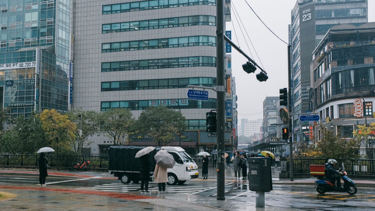
Storm Charles hit Portugal with less force than forecast on Wednesday after it split into two weaker low-pressure centres, one heading for Lisbon and one for the Algarve. Civil protection recorded 1,630 incidents in mainland Portugal up to 18:00, according to Observador, and the government has already stood down its crisis office.
The national alert, which ran from 00:00 to 23:59 on Wednesday, will not continue into Thursday. Prime Minister Luís Montenegro said nature had helped.
What the storm did
More than half of the incidents on the mainland were floods. Observador counts 881 of them, while A Bola, citing civil protection, gives 781 out of 1,630, so reports differ on that figure. The worst effects were in Greater Lisbon, the Setúbal Peninsula and the Algarve.
Wind was weaker than predicted. IPMA (Portugal’s weather and sea institute) measured the strongest gust at about 123 km/h at Foia, in the Monchique mountains, and 105 km/h in the Caldeirão mountains in the Algarve. Lisbon had gusts of around 75 to 80 km/h. In Madeira, the first region hit, winds reached 130 km/h and more than 200 incidents were logged by midday.
Rain was closer to the forecast. IPMA meteorologist Patrícia Marques told Lusa that the red warning level was reached in the Lisbon region, with close to 80 millimetres of rain in six hours, and also in Setúbal and parts of the Alentejo. In the Algarve, four people in Armação de Pêra, in the municipality of Silves, were displaced after their apartment flooded. More than 300 flights were cancelled.
Why it was milder than feared
Climatologist Carlos da Câmara told Observador the storm grew rapidly as it moved north from the south Atlantic and took on tropical features. Early forecasts sent it toward Morocco before the track changed. The fear was that Charles, moving faster than the earlier depression Bruna, would end up close to it. Two such systems close together reinforce each other, he said, and the likely route pointed at Greater Lisbon.
That did not happen. According to IPMA, Charles divided into two low-pressure cores as it neared the coast, which spread its energy and weakened the wind. Marques added that Charles did not interact with Bruna. Da Câmara said the split was not clear 48 hours earlier. IPMA then lowered red warnings to orange in most districts.
Miguel Miranda, a geophysicist and former president of IPMA, said such events are unpredictable. Weather models run many possible scenarios, he said, and weighing them for public action is a job for civil protection and the government, not meteorologists. IPMA’s Jorge Ponte said the institute will keep issuing warnings whenever the risk is well founded.
What this means for the next few days
Marques said the situation had calmed by Wednesday evening, with light rain left, mostly in inland districts near the Spanish border. Only a maritime agitation warning remained. Maximum temperatures should stay around 20 degrees.
Bruna, still centred north-west of the mainland, is expected to bring rain to the whole country again, possibly heavier in the Minho and Douro Litoral regions. IPMA may issue occasional warnings there, at yellow level only. Marques described the outlook as normal for an autumn depression, and rain is forecast at least until Nov. 15, less often and less intensely.
Marques also said there were fewer incidents partly because people stayed off the roads, and flooded streets would otherwise have caused car accidents.
Sources: Observador, CNN Portugal, A Bola
Site editor: Nikita Sheikin